
Provided by: mapserver-bin_7.0.7-1build2_amd64 
NAME
shptreevis - view the quadtree quadrants of a .qix file
SYNOPSIS
shptreevis shapefile new_shapefile
DESCRIPTION
       shptreevis can be used to view the quadtree quadrants that are part of a .qix file (that was created with
       the shptree utility).
OPTIONS
       shapefile
              The name of the .shp file index.

       new_shapefile
              The name of the .shp file to create.
EXAMPLE
shptreevis us_states.shp quad.shp
This new LSB index supports a shapefile with 2895 shapes, 10 depth
Result:
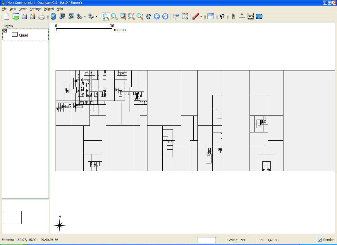
A Shape data set named 'quad.shp' is created. You can now view this Shape data set in a desktop
GIS (such as QGIS for example) to see the quadtrees that were created with the shptree command.
shptreevis result displayed in QGIS ⟨http://mapserver.org/_images/shptreevis-example.png⟩
SEE ALSO
       shptree(1), shptreetst(1), sortshp(1)

                                                  01 March 2018                                    shptreevis(1)